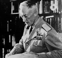
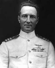
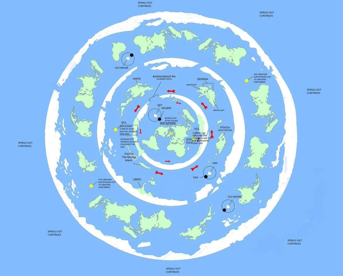
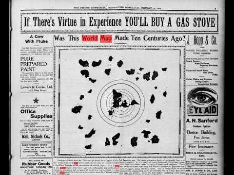
Richard Evelyn Byrd Jr. (October 25, 1888 – March 11, 1957) was an American naval officer and explorer. He was a recipient of the Navy Cross, the second highest honor for valor given by the United States, and was a pioneering American aviator, polar explorer, and organizer of polar logistics. Aircraft flights in which he served as a navigator and expedition leader crossed the Atlantic Ocean, a segment of the Arctic Ocean, and a segment of the Antarctic Plateau. Byrd said that his expeditions had been the first to reach both the North Pole and the South Pole by air. His belief that he reached the North Pole is disputed. Alternate theories suggest he reached The Antarctic Circle and discovered it was not continent, but rather, a ring with lands beyond the ring.
Here is the interview with Admiral Byrd explaining Operation Highjump and the motivations for exploring the North and South Poles:
Admiral Byrd Admits Hidden Land Beyond Antarctica:
Admiral Byrd Full Interview - Operation Highjump (LONGINES CHRONOSCOPE WITH RICHARD E BYRD):
How National Frenzy Surrounded Byrd’s 1928 Antarctic Expedition:
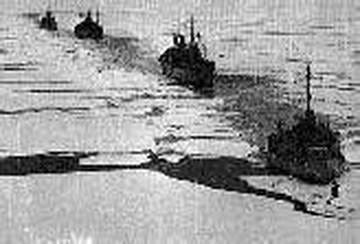
Operation Highjump Convoy in Packed Ice:
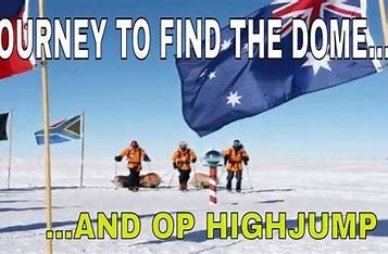
Operation Highjump:
After WWII the United States Navy had a huge fleet of ships and thousands of sailors that suddenly didn’t have a war on their hands. Admiral Byrd approached Secretary of the Navy James Forrestal and Chief of Naval Operations Chester Nimitz to suggest a new expedition to Antarctica would be an ideal way to utilize some of these resources. They agreed so Operation Highjump was launched in 1946.
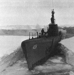
With Admiral Byrd in overall command Highjump was the largest expedition to Antarctica up to that time. It consisted of 4,700 men, 13 ships (including an aircraft carrier, submarine, and two ice breakers), 19 airplanes, four helicopters, and a large contingent of scientists.
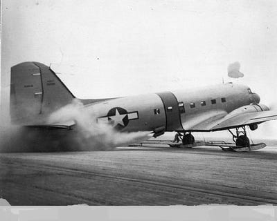
R4D taking off from carrier Philippine Sea with JATO:
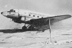
On board the carrier Philippine Sea were six Navy R4Ds (military version of the twin engine DC-3). The deck was way too short for a conventional take off so they strapped JATO (for Jet Assist Take Off) bottles on the planes, these external rockets gave the planes the velocity to fly in a very short space. These ski-equipped planes landed near Byrd’s Little America base camp on the Ross Ice Shelf and established Little America III. Two of the R4Ds would later fly to the South Pole, one with Admiral Byrd aboard, and on into unexplored territory beyond the Pole.
Highjump was organized in three groups. The Eastern Group explored the coast between Little America and the Palmer Peninsula, the same territory covered by the U.S. Antarctic Service. The Central Group explored the Ross Ice Shelf, Transantarctic Mountains, and polar plateau. The Western Group explored the coast of Antarctica south of Australia. Vast stretches on new land were mapped and the expedition returned with a large quantity of meteorological and other scientific data.
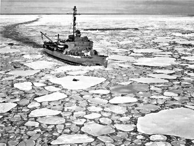
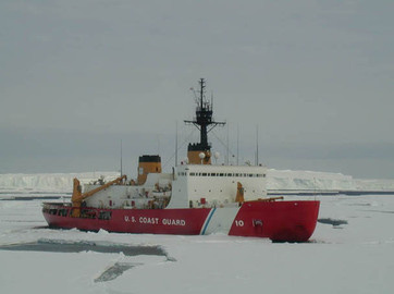
U.S. Coast Guard ice breaker:
Operation Deep Freeze:
In the early 1950s a group of 12 nations came together in the spirit of scientific cooperation including the United States and the USSR. Their ultimate goal was the formation of the International Geophysical Year (IGY) from 1957 to 1958 when it was agreed these nations would cooperate in conducting scientific research in two primary places: Antarctica and outer space.
As a prelude to the IGY the United States launched Operation Deepfreeze I to Antarctica with Admiral Byrd in command during the summer of 1955-56. With the U.S. Navy in a support role four U.S. bases were established for scientific study: McMurdo Station on Ross Island (with an airstrip on the permanent sea ice), the South Pole (named the Amundsen-Scott Station), Little America near Byrd’s original station built in 1928 on the Ross Ice Shelf, and Byrd Station in Marie Byrd Land.
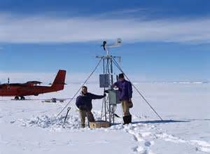
During the IGY 12 countries established 40 science stations to conduct scientific research. Research was conducted in many fields including meteorology, glaciology, geomagnetism, and many others. Meanwhile in space the USSR and United States launched their first satellites into earth orbit named Sputnik and Explorer respectively.
Admiral Byrd returned to his home in Boston after Deepfreeze I. He passed away in his sleep on March 11, 1957, and was buried at Arlington National Cemetery with full military honors.
Flags of the Antarctic Treaty Nations:
Antarctic Treaty:
Admiral Byrd was excited about the international cooperation exhibited by the 12 nations that agreed to participate in the International Geophysical Year. In fact he referred to Antarctica as the great white continent of peace. Operation Deep Freeze with Byrd in command laid the groundwork for the IGY in Antarctica 1955-56. After the Admiral's death in 1957 and as a direct spinoff of the IGY these 12 participatory nations signed the Antarctic Treaty in 1959. It went into effect in 1961 and since then 41 more nations have signed the treaty for a total of 53.
Specifically under the Treaty:
All territorial claims are set aside...nobody owns Antarctica:
The entire continent is allegedly preserved for peaceful scientific research. Nuclear materials BANNED including weapons & power plants:
No military allowed except in support of science:
Antarctica – The “Outer Space” Beyond the Ice Wall Surrounding Our World
From The Serapeum:
“Strangely enough, there is an area left in the world today an area as big as the United States that’s never been seen by a human being.”
~Admiral Byrd
“Our journey begins with a man named Richard E. Byrd or more commonly known as Admiral Byrd. He was a highly decorated service member achieving the Medal of Honor and had an unquenchable thirst for exploring the unknown. This drive sent him to Antarctica numerous times, but the one expedition of interest is “Operation High Jump” (1946–1947). For this mission he was supported by the US Navy, giving him plenty of ships, boats, aircraft, and personnel to accomplish his goal. Well, he found something in Antarctica and in an interview gave an account of what he saw.
Here are a few quotes pulled from that interview, “Strangely enough, there is an area left in the world today an area as big as the United States that’s never been seen by a human being.” Byrd said he found this area as he moved further into Antarctica and even went on to say, “It’s an untouched reservoir of natural resources”. This isn’t the desolate wasteland of ice and snow that we typically think about when we imagine Antarctica, but according to the admiral if you travel far enough inland that is what you’ll see. Now unfortunately we cannot trust everything Byrd said as he was a Freemason, but it has been reported that he lost plane after plane due to some invisible barrier. Not too long after this started taking place did the expedition end, six months ahead of schedule mind you.”
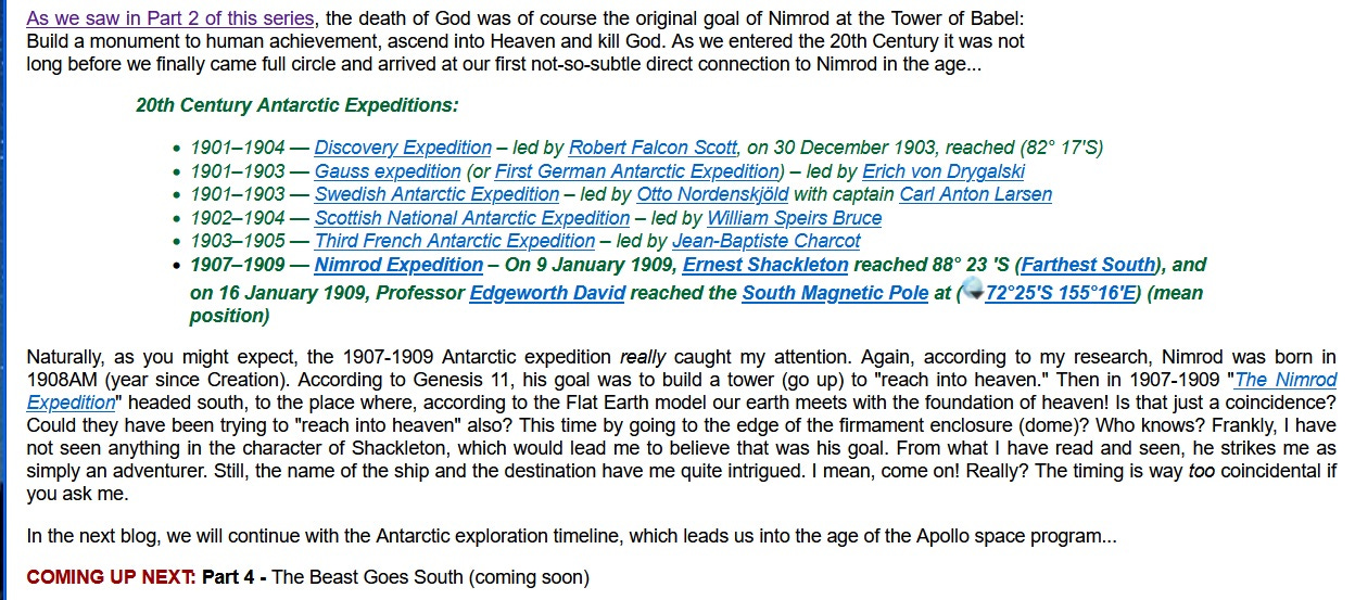
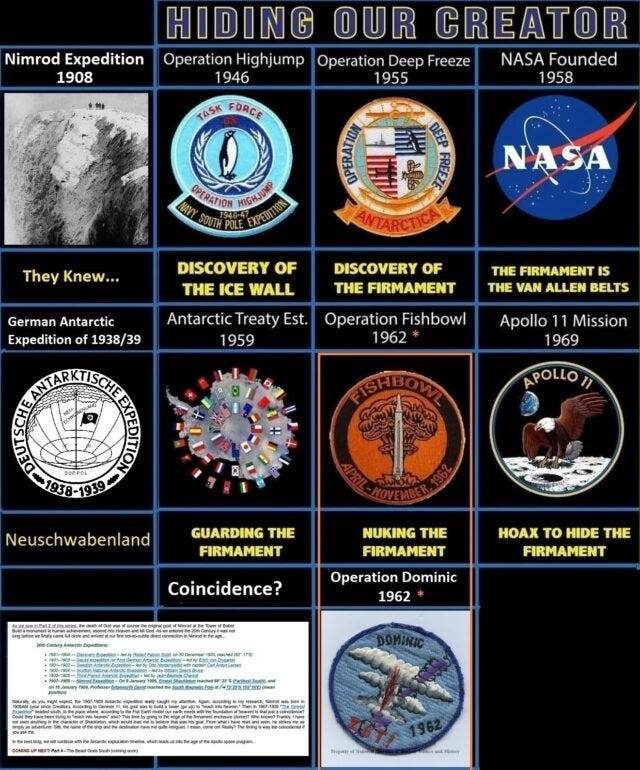
1908 – Nimrod Expedition (Secret Society Expedition?) – They Knew Something.
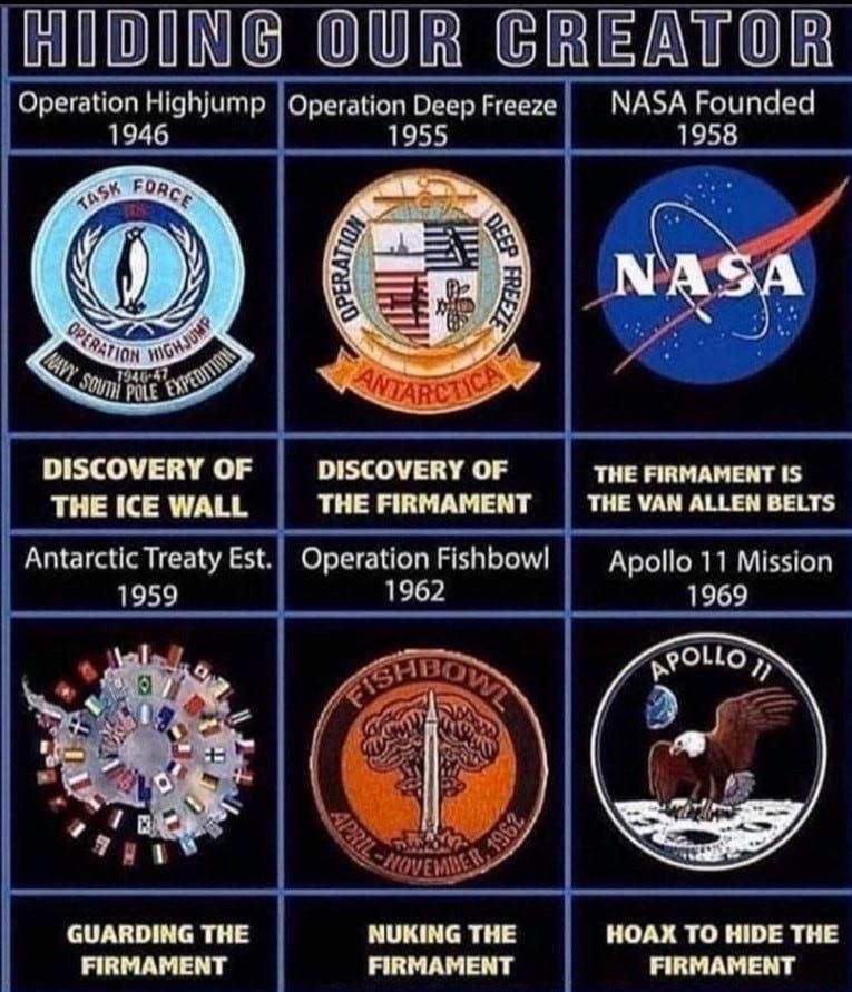
1946 – Operation High Jump – Discovery of the Ice Wall Rim/Shoreline of Our World Lake.
1955 – Operation Deep Freeze – Discovery of The Firmament
1958 – NASA Founded – Faking The Globe to Hide Biblical Earth
NASA – The Actor’s Guild of The Freemason Forked Tongue
Flat Earth Clues – Directors Cut – Mark Sargent – Under the Dome – They are hiding GOD
NASA’s Inconvenient Truth: It’s NOT Too Big a Conspiracy!
1962 – Operations Dominic (“of The Lord”) and Fishbowl (Together: Fishbowl of the Lord)
While I certainly understand man’s need for adventure into the unknown in search of answers and “new frontiers,” the more I look into this subject, it appears that Antarctica had been an obsession for quite some time. But prior to the advances of the mid-20th century, few actually made it there. It wasn’t until we were able to build better ships and the equipment needed to cut through the ice that such a trip was even possible. But why the big push for this “end of the earth” anyway? Could it be that man was after more than mere adventure and the discovery of new land? What if they were actually testing an ancient theory? What if they were trying to access Heaven through the ground floor door instead of the sky dome windows? What if the ultimate goal was to once again “reach into heaven” and… kill God? Sounds crazy? Let’s see…
Prior to the 20th Century AD, there were a number of expeditions to Antarctica worthy of note:
Pre-19th century:
7th century — Ui-te-Rangiora claimed to have sighted southern ice fields.
13th century — Polynesians settle Auckland Islands (50° S)
1501–1502 — Gonçalo Coelho and Amerigo Vespucci potentially sail to (52° S)
1522 — Ferdinand Magellan – first circumnavigation discovers Strait of Magellan (54° S)
1578 — Francis Drake discovers Drake Passage
1599 — Dirk Gerritsz – potentially sails to (64° S)
1603 — Gabriel de Castilla – potentially sails to (64° S)
1615 — Jacob le Maire and Willem Schouten first to sail around Cape Horn cross (56° S)
1619 — Garcia de Nodal expedition – circumnavigate Tierra del Fuego and discover Diego Ramirez Islands
1675 — Anthony de la Roché discovers South Georgia
(54°15′00″S 36°45′00″W), the first ever land discovered south of the Antarctic Convergence
1698–1699 — Edmond Halley sails to (52° S)
1720 — Captain George Shelvocke – sails to (61° 30′ S)
1739 — Jean-Baptiste Charles Bouvet de Lozier – discovers Bouvet Island
1771 — James Cook – HM Bark Endeavour expedition
1771–1772 — First French Antarctic Expedition – led by Yves-Joseph de Kerguelen-Trémarec discovers Kerguelen Islands
1772–1775 — James Cook – sails HMS Resolution crossing Antarctic Circle in January 1773 and December 1773. On 30 January 1774 he reaches 71° 10′ S, his Farthest South, coming within about 75 miles of the Antarctic mainland without seeing it.
At this point, several people got close, but they still had not seen the mainland yet. Looking into the Cook expedition proved interesting though.
Here are some intriguing quotes I recently found thanks to a Facebook friend pointing them out to me:
As for the Southern latitudes being larger than the North, they most certainly are and have shown to be so time and again. In 1773 Captain Cook became the first modern explorer known to have breached the Antarctic Circle and reached the ice barrier. During three voyages, lasting three years and eight days, Captain Cook and crew sailed a total of 60,000 miles along the Antarctic coastline never once finding an inlet or path through or beyond the massive glacial wall! Captain Cook wrote: “The ice extended east and west far beyond the reach of our sight, while the southern half of the horizon was illuminated by rays of light which were reflected from the ice to a considerable height. It was indeed my opinion that this ice extends quite to the pole, or perhaps joins some land to which it has been fixed since creation.”
On October 5th, 1839 another explorer, James Clark Ross began a series of Antarctic voyages lasting a total of 4 years and 5 months. Ross and his crew sailed two heavily armored warships thousands of miles, losing many men from hurricanes and icebergs, looking for an entry point beyond the southern glacial wall. Upon first confronting the massive barrier Captain Ross wrote of the wall, “extending from its eastern extreme point as far as the eye could discern to the eastward. It presented an extraordinary appearance, gradually increasing in height, as we got nearer to it, and proving at length to be a perpendicular cliff of ice, between one hundred and fifty feet and two hundred feet above the level of the sea, perfectly flat and level at the top, and without any fissures or promontories on its even seaward face. We might with equal chance of success try to sail through the cliffs of Dover, as to penetrate such a mass.”
Source: http://ifers.boards.net/thread/36/flat-earth-model?page=8&scrollTo=3353
The earth is (allegedly) only 25,000 miles in circumference. Looking at a typical globe, Antarctica is about the same size as Australia. Yet, if the above article citation is true, why did it take Cook 60,000 miles to circumnavigate Antarctica?
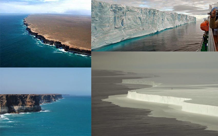
By the way, this is the “massive glacier wall” the article referred to -it is the coastline of Antarctica:
In the Flat Earther model, it forms the outer barrier, which would of course prevent anyone from “falling off the edge of the world.”
Antarctic expeditions really ramped up in 19th and 20th centuries, aided of course by advancements in technology and ship building.
Each of the following expeditions in the 19th Century provided exciting tales of exploration and the overcoming and failures that come from such adventures. Many of the names of Antarctica’s various features come from the expeditions listed below.
19th Century
1819 — William Smith discovers South Shetland Islands
62°00′S 058°00′W), the first land discovered south of 60° south latitude.
1819 — San Telmo wrecks in the Drake Passage off Livingston Island
1819–1821 — Fabian Gottlieb von Bellingshausen – on 27 January 1820, discovers an ice shelf at Princess Martha Coast that later became known as the Fimbul Ice Shelf
1820 — Edward Bransfield with William Smith as his pilot – on 30 January 1820, sight Trinity Peninsula
63°37′S 058°20′W) – now the Antarctic Peninsula.
1820 — Nathaniel Palmer sights Antarctica on 17 November 1820
1821 — George Powell, a British sealer, and Nathaniel B. Palmer, an American sealer, discover the South Orkney Islands. Powell annexes them for the British.
1821 — John Davis – on 7 February 1821 disputed claim of setting foot on Antarctica at Hughes Bay
1823–1824 — James Weddell discovers the Weddell Sea; – on 20 February 1823 his ship Jane (160 tons) reached a new Farthest South of 74° 15′ S (
1830–1833 — Southern Ocean Expedition led by John Biscoe, an English sealer; circumnavigates the continent, sets foot on Anvers Island, names and annexes Graham Land, discovers Biscoe Islands, Queen Adelaide Island (
67.25°S 68.5°W) and sights Enderby Land
1837–1840 — Second French Antarctic Expedition – led by Jules Dumont d’Urville; discovers Adelie Land and sets foot on an islet of Geologie Archipelago
66°36′19″S 140°4′0″E) 4 km from the mainland to take mineral and animal samples (66° S)
1838–1839 — John Balleny discovers Balleny Islands
1838–1842 — United States Exploring Expedition – led by Charles Wilkes to Antarctic Peninsula
69°30′S 065°00′W) and eastern Antarctica; discovers “Termination Barrier” (“Shackleton Ice Shelf”)
1839–1843 — James Clark Ross discovered the Ross Ice Shelf, Ross Sea, Mount Erebus, Mount Terror and Victoria Land; extended his Farthest South to 78° 10′ S on 23 January 1842
Meanwhile, at a time when the Holy Spirit inspired truths of Scripture were being tossed out in favor of the wild imaginations of flawed “men of science” who began to think of themselves as evolved apes, which themselves were the product of countless mutations, resulting from the adaptation of things evolved from some sort of primordial ooze, which suddenly came to life having been spawned out of a lifeless slime pit millions/billions of years prior, the expeditions to Antarctica continued…
1872–1876 — HMS Challenger under Capt. George S. Nares, becomes the first steamship to cross the Antarctic Circle; reopens the study of oceanography in the region after a 30-year gap.
1892–1893 — Carl Anton Larsen led the first Norwegian expedition to Antarctica aboard the ship Jason. Larsen became the first person to ski in Antarctica where the Larsen Ice Shelf was named after him.
1892–1893 — Dundee Whaling Expedition discover Dundee Island
1893–1894 — Carl Anton Larsen led the second Norwegian expedition to Antarctica
1893–1895 — Henryk Bull, Carstens Borchgrevink and Alexander von Tunzelmann – set foot on Antarctica at Cape Adare
1897–1899 — Belgian Antarctic Expedition – led by Adrien de Gerlache; first to winter in Antarctica
1898–1900 — Southern Cross Expedition, Carsten Borchgrevink – sails to Cape Adare, winters on Antarctica and takes Farthest South on 16 February 1900 at 78° 50′
While Antarctica expeditions were beginning to become more and more prevalent (possibly in an effort to prove this up-and-coming new Godless paradigm of evolution over millions/billions of years), a remnant of Godly men rose up in opposition – namely, Dr. Samuel B. Rowbotham, William Carpenter and David Wardlaw Scott.
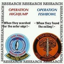
Operation Fishbowl: Hitting The Firmament With High Altitude Weapons But Calling it The Ionosphere
Though NASA claims that during Operation Fishbowl, they hit The Ionosphere with nuclear weapons, and therefore, could not penetrate through, they also claim that they sent tiny little frail rockets through the Ionosphere with men inside without any problem. The two stories contradict each other, obviously.
Operation Fishbowl:
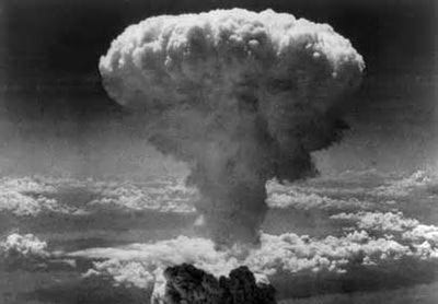
Operation Fishbowl was a series of high-altitude nuclear tests in 1962 that were carried out by the United States as a part of the larger Operation Dominic nuclear test program.
The Operation Fishbowl nuclear tests were originally planned to be completed during the first half of 1962 with three tests named Bluegill, Starfish and Urraca.
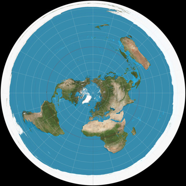
Earth is a realm. It is a closed system covered by a solid dome called the Firmament:
The first test attempt was delayed until June. Planning for Operation Fishbowl, as well as many other nuclear tests in the region, was begun rapidly in response to the sudden Soviet announcement on 30 August 1961 that they were ending a three-year moratorium on nuclear testing. The rapid planning of very complex operations necessitated many changes as the project progressed.
Strong Evidence for the Firmament:
Mysterious Activity Above Reveals Secrets!! (Sprites and Elves):
Operation Fishbowl - High Altitude Weapons Effects:
HD Operation Fishbowl Nuke Blast In Space 1962: Hitting The Firmament:
Operation Fishbowl - High-Altitude Weapons Effects:
Gregory Lessing Garrett’s Newsletter is a
Hiding Our Creator: A Significant Order of Events Exploring the Boundaries of Earth and the Firmament
Dateline:
1. Admiral Byrd’s Expositions to Antarctica: 1928-30 and 1933-352. Operation Paperclip: 1945
3. Operation High Jump: 1946–1947 (Rear Admiral Richard E. Byrd, Jr)
4. Operation Deep Freeze: 1955–Currently Operating
5. NASA Begins: Oct. 1, 1958
6. Antarctic Treaty System: December 1, 1959
7. Within the Larger Operation Dominic Nuclear Test Program: Operation Fishbowl, with three tests named Bluegill, Starfish and Urraca: 1962
8. The Apollo 11 Mission: July 16,1969
Admiral Byrd’s Expeditions to Antarctica:
· First: 1928-30 and 1933-35
· Later Antarctic expeditions:
· Operation High Jump (1946–1947)
· Operation Deep Freeze I (1955–1956)
· Admiral Byrd’s Sudden Unexplained Death: March 11, 1957 (aged 68)
OPERATION PAPERCLIP
A group of 104 rocket scientists (aerospace engineers), Operation Paperclip was the United States Office of Strategic Services (OSS) program in which more than 1,500 Germans, primarily scientists but also engineers and technicians, were brought to the United States from Nazi Germany for government employment starting in 1945 and increasing in the aftermath of World War II. It was conducted by the Joint Intelligence Objectives Agency (JIOA) and in the context of the burgeoning Cold War.
One purpose of Operation Paperclip was to deny German scientific expertise and knowledge to the Soviet Union and the United Kingdom, as well as to inhibit post-war Germany from redeveloping its military research capabilities.
OPERATION HIGH JUMP
Operation Highjump, officially titled The United States Navy Antarctic Developments Program, 1946–1947, was a United States Navy operation organized by Rear Admiral Richard E. Byrd, Jr., USN (Ret), Officer in Charge, Task Force 68, and led by Rear Admiral Richard H. Cruzen, USN, Commanding Officer, Task Force 68.
Immediately after WWII the U.S. Navy rushed launched the largest military operation ever down to Antarctica called Operation High Jump. Admiral Byrd, a 33-degree Freemason led the expedition of 30 ships and 4700 militarized soldiers. The mission had 3 task forces that were sent out in different directions and was to last 6-8 months but the fleet came back in just 6 weeks.
Admiral Byrd reported UFO sightings, but that was a public relations ruse, they were really trying to find out about the electromagnetic field above the ice wall and the edge of the Dome. Just several years later the U.S. and the Russians began firing over 49 high altitude thermonuclear rockets up into the dome with Operation Fishbowl and Dominic.
Rockets went haywire and many had to be aborted as they tried to blast through the dome. In this presentation we chronicle the history of Antarctic expeditions as well as demonstrations of how the dome functions as well as how tidal changes and Sun and Moon movement occur in Flat Earth model.
Then both the Russians and the U.S. signed off on a ban on any more tests of the dome as the space race and the fake moon missions were sold to the world.
OPERATION DEEP FREEZE
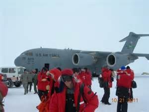
Operation Deep Freeze (OpDFrz or ODF) is the codename for a series of United States missions to Antarctica, beginning with “Operation Deep Freeze I” in 1955–56, followed by “Operation Deep Freeze II”, “Operation Deep Freeze III”, and so on. Given the continuing and constant US presence in Antarctica since that date, “Operation Deep Freeze” has come to be used as a general term for US operations in that continent, and in particular for the regular missions to resupply US Antarctic bases, coordinated by the United States military.
OPERATION FISHBOWL
Operation Fishbowl was a series of high-altitude nuclear tests in 1962 that were carried out by the United States as a part of the larger Operation Dominic nuclear test program.
The Operation Fishbowl nuclear tests were originally planned to be completed during the first half of 1962 with three tests named Bluegill, Starfish and Urraca.
The first test attempt was delayed until June. Planning for Operation Fishbowl, as well as many other nuclear tests in the region, was begun rapidly in response to the sudden Soviet announcement on 30 August 1961 that they were ending a three-year moratorium on nuclear testing. The rapid planning of very complex operations necessitated many changes as the project progressed.
NASA
The National Aeronautics and Space Administration (NASA /ˈnæsə/) is an independent agency of the executive branch of the United States federal government responsible for the civilian space program, as well as aeronautics and aerospace research.
The Antarctic Treaty
The Antarctic Treaty and related agreements, collectively known as the Antarctic Treaty System (ATS), regulate international relations with respect to Antarctica, Earth's only continent without a native human population. For the purposes of the treaty system, Antarctica is defined as all of the land and ice shelves south of 60°S latitude. The treaty entered into force in 1961 and currently has 53 parties. The treaty sets aside Antarctica as a scientific preserve, establishes freedom of scientific investigation and bans military activity on the continent. The treaty was the first arms control agreement established during the Cold War. Since September 2004, the Antarctic Treaty Secretariat headquarters has been located in Buenos Aires, Argentina. The main treaty was opened for signature on December 1, 1959, and officially entered into force on June 23, 1961.
It should be very clear from the sequence of events that sometime very significant was discovered in Antarctica which spurred the eventually closing down of Antarctica to all the world, “nuking” (high energy weapons) at high altitudes, and the need for NASA to create the idea that The Earth is not Flat. If the Earth is not a flat plane, why go to all the trouble to enforce the idea that it is not? As Shakespeare said, “The lady doth protest too much, methinks", inferring that something is being hidden by virtue of the fact that it is denied so heavily.



👍 ❤️
The first YouTube video does not work